
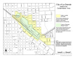
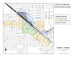
Interactive Maps
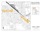
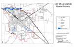
The Planning Division maintains several maps that are used for managing a variety of land use issues within the City. Maps available on-line include zoning, flood plain, potential wetlands, historic district, plus others.
Below are links to current updated maps that are interactive and designed for public use through our on-line ArcGIS.
These maps provide you the ability to turn some layers on and off, which allows you to more clearly view information of interest.
Additional Maps
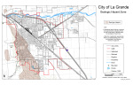
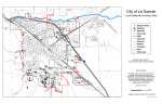
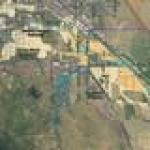 | NOTICE - FLOOD PLAIN MAPPING REVISIONS The City of La Grande is currently working to update the City's flood plain maps, with an intention to more accurately identify and define the 100 year regulatory floodplain boundaries using modern technology, such as Lidar data and 3D modeling. The City has engaged the services of Anderson-Perry and Associates and the Army Corp. of Engineers (USACE) to prepare the required analysis and applications for consideration by the Federal Emergency Management Agency (FEMA).
This link provides access to the CITY'S INTERACTIVE ARCGIS FLOODPLAIN MAP which includes properties within the city limits of the City of La Grande, it's Urban Growth Boundary, and some bordering properties in Union County areas that may be affected by the same regulatory floodplains that are to be updated.
Note: This flood plain mapping data is NOT OFFICIAL and is only presented in a proposed and draft form. The flood plain boundaries reflected on this map are subject to change based on the review and acceptance by the Federal Emergency Management Agency (FEMA). |
 | |
 | |
 | |
 | |
 | |
 |